The latest version of
QGIS, QGIS 2.4 Chugiak, has been released. Interestingly, the release is named after a location in the United States:
Chugiak, Alaska. New features are listed
on the change log and include:
- Cartography
- An inverted polygon renderer - allowing everything outside of a polygon to be styled
- Shapeburst fill style - create a gradient from the polygon line edge to the interior
- Long lines can be labeled at regular intervals
- Better print composer - analogous to layout view in ArcGIS
- Grayscale and colorblindness previews
- Table attribute data
- Quick field calculator bar
- Easier to incorporate tables into maps in print composer
- Layer style-related
- Saving and recovering styles from Spatialite layers
- Added support for QLR files -- analogous to layer file or*.lyr in ArcGIS
- Shifting marker line placement - allowing the user to specify an offset
- Metadata-related improvements
- Applying scale and offset to raster data
- Generating band names
- MetaSearch Catalog Client Plugin
- Performance
- Multi-threaded rendering - splitting the workload between the cores in your CPU
In the near future, I will post about a few of these improvements and show examples. Also, if you use QGIS a lot, or just like the idea of a free and open source GIS, then head over to their
donation page. I know I did!
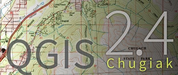 |
| Loading screen for QGIS's latest release |
