Businesses based on free and open source GIS software (FOSS GIS) offer a number of opportunities to owners and clients alike. Like
Red Hat and Linux, these companies offer several services using FOSS GIS. At least two have their own suite or development tools (
Boundless OpenGeo Suite and
Cartologic's Cartoview). These services include: consulting, development, training (sometimes certification/testing), and support.
Of course, these businesses also offer job opportunities
for those interested in FOSS GIS!
In today's post, we will look at a sample of companies out there, where they are based, their philosophy, and specific areas of interest. All businesses that I reviewed offer sample or demo web maps and apps on their websites. Although the companies are based around the world, they all offer services to clients whether near or far.
New York-based
Boundless is the biggest company out there with
45 employees and venture capital financing. It has its own suite of software OpenGeo Suite and emphasizes
interoperability of different combinations of open and paid-software. Boundless has a big list of big name clients across different sectors.
This same philosophy that GIS tools can come from different realms is also shared by
Cartologic based on Giza, Egypt. They are a team of geospatial IT developers and focus on Business Integration, GIS Mobile Applications, and GeoPortals. Cartologic offers the free
Cartoview an open source web platform for publishing maps. (I will cover Cartoview in a later post.)
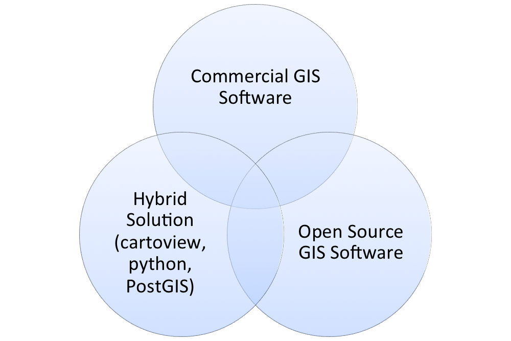 |
Many businesses recognize that a client's needs
can be met in more than one way, as this diagram
from Cartologic illustrates. |
South Africa-based
Kartoza was formed as a merger between
Linfiniti Consulting (
Tim Sutton) and Afrispatial in 2014. Kartoza's key business areas are: Training and Education, Deployment and Support, and Software Development. Kartoza is also a Boundless partner for Southern Africa.
The UK-based
Lutra Consulting specializes in flood risk. Like many of these, businesses, they have given back to the open source community--especially through the creation of
QGIS plugins, like
AutoTrace. They are currently
crowd funding for AutoTrace 2.
gvSIG Association (SIG is Spanish for GIS or un sistema de informacion geografica). gvSIG moved from a DOT.org to a DOT.com. It is located in Valencia, Spain and is based off of the free desktop and mobile platforms of gvSIG.
The Association raises a new business model around Free Software democratic values,
based on cooperation and shared knowledge, where part of the generated benefit
reverts on the strengthening of the gvSIG project.
NaturalGIS, based in Evora, Portugal, utilizes QGIS and PostGIS/PostgreSQL features services including: Consulting, Web Development, Training, Data Analysis, Support, and Development.
 |
| Many businesses, like NaturalGIS, use QGIS as the go-to replacement for ArcGIS. |
Businesses that offer commercial support for QGIS:
http://www2.qgis.org/en/site/forusers/commercial_support.html
Contact me
If you are a business based on open source GIS software, I want to hear more about you! Please leave a link and a little about you in the comment section below. I am thinking about compiling a list of different companies.