Finding LIDAR data is easy on OpenTopography. Simply navigate on a map, click a point for more information on the data set, or zoom in for the full coverage area. In addition, there is a list of tools available and links to them at: http://opentopo.sdsc.edu/gridsphere/gridsphere?cid=tools. Click on the screenshots below to take a closer look at using the site. You can draw a bounding box to select an area of interest.
 |
| Finding data is a snap. Currently, the overwhelming majority of the data is for the continental U.S. |
 |
| Example of a Job Report for data for Washington DC. Well Organized and Data Ready to Download! |
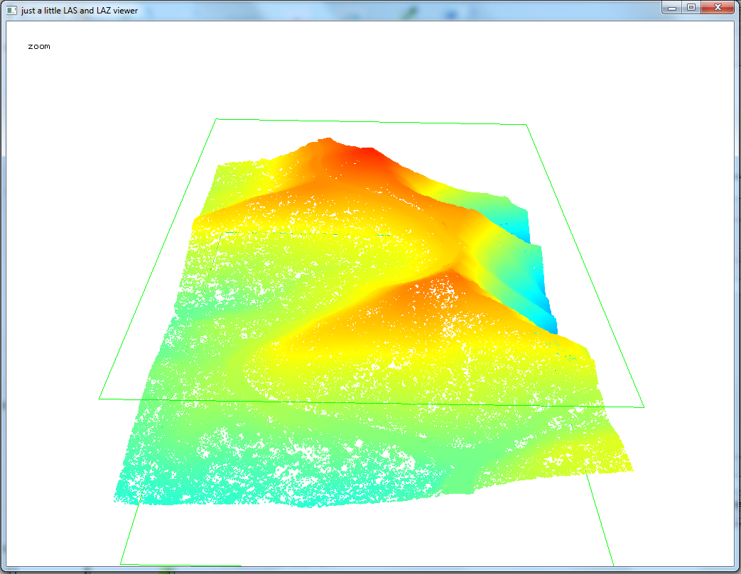 |
| LIDAR data from OpenTopography visualized in LAStools. Na Pali Coast, Kauai, Hawaii. Points colored by elevation. Pressing the space bar allows user to pan, zoom, rotate, etc. with the mouse. |